
US340 Corridor Study
The Department of Planning and Zoning recently conducted a study of the US 340 eastern corridor in Jefferson County. The maps below provide visual information related to the study.
General Information
US 340 East Corridor with Study Areas
This is a basic map featuring only the study areas, roads, municipal boundaries, water features, federal land, and parcel lines.
Author
Jefferson County GIS/Addressing Office
Date Published
March 2011

Download PDF Map
Transportation
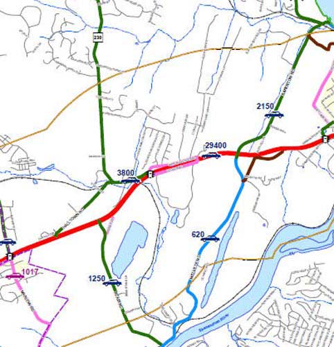
Traffic Counts
This map shows traffic counts provided by the WV DOT (2009) and the City of Charles Town (2010). Also included are traffic signal locations.
Author
Jefferson County GIS/Addressing Office
Date Published
March 2011
Download PDF Map
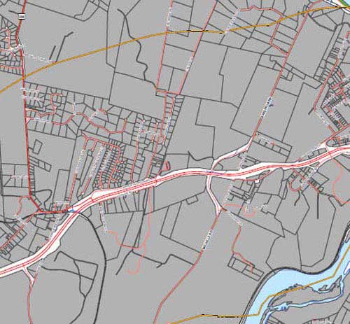
Right-of-Ways
This map shows all existing right-of-ways.
Author
Jefferson County GIS/Addressing Office
Date Published
March 2011
Download PDF Map
Parks, Trails, & Greenways
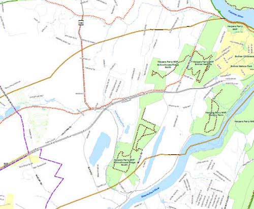
Parks & Trails
This map shows all known existing and proposed parks and hiking trails within or adjacent to the study area, including portions of Washington County, MD and Loudoun County, VA.
Author
Jefferson County GIS/Addressing Office
Date Published
March 2011
Download PDF Map
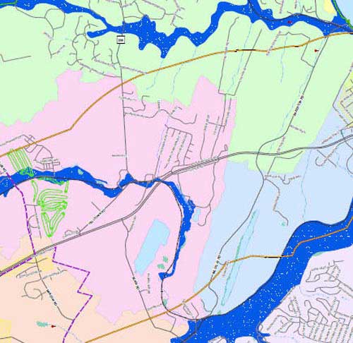
Hydrologic Features
This map shows all hydrologic features, including water bodies, floodplains, watersheds, wetlands, and springs.
Author
Jefferson County GIS/Addressing Office
Date Published
March 2011
Download PDF Map
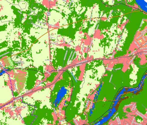
Land Cover (GI)
This map shows the land cover dataset from the 2006 Green Infrastructure Assessment. This dataset is the oldest and coarsest land cover dataset in the study.
Author
Jefferson County GIS/Addressing Office
Date Published
March 2011
Download PDF Map
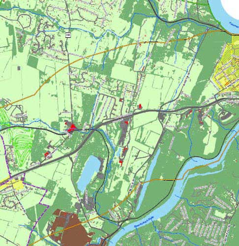
Land Cover (UV)
This map shows the land cover dataset generated by the University of Vermont in 2009. This is the most recent and finest resolution land cover dataset that covers the entire study area.
Author
Jefferson County GIS/Addressing Office
Date Published
March 2011
Download PDF Map
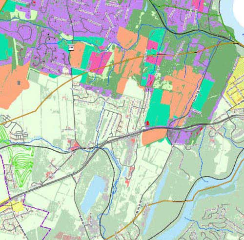
Land Cover (UV & FI)
This map shows althe University of Vermont land cover dataset overlain by a land cover dataset recently generated for the Elks Run Watershed by the Freshwater Institute.
Author
Jefferson County GIS/Addressing Office
Date Published
March 2011
Download PDF Map
Viewsheds & Historic Resources
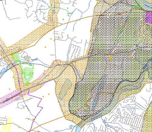
Historic Resources
This map includes historic resource locations, National Register Historic Districts, and boundaries from the American Battlefields Protection Program.
Author
Jefferson County GIS/Addressing Office
Date Published
March 2011
Download PDF Map
Community Services
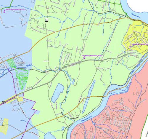
EMS Response Areas
This map shows the Emergency Medical Service response zones as well as the fire station and school locations.
Author
Jefferson County GIS/Addressing Office
Date Published
March 2011
Download PDF Map
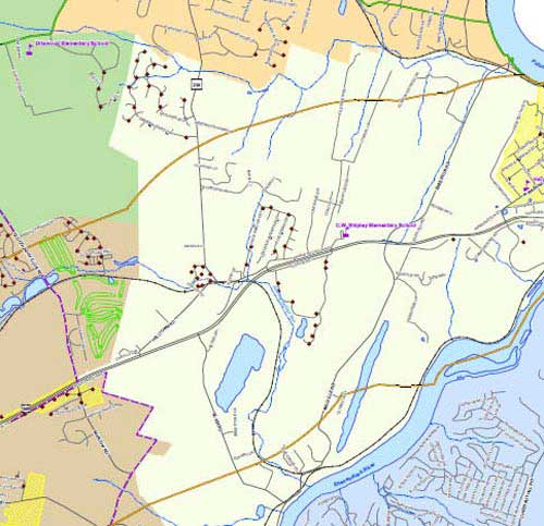
Fire Company Response Areas
This map shows the Fire Company response zones as well as the fire stations, schools, and hydrant locations.
Author
Jefferson County GIS/Addressing Office
Date Published
March 2011
Download PDF Map
Water/Sewer & Cellular Services
This map shows water/sewer services and cell towers. Not all water/sewer services were able to be represented due to lack of digital data.
Author
Jefferson County GIS/Addressing Office
Date Published
March 2011

Download PDF Map
Economic Development
Potential Traffic Generators
This map shows the potential traffic generators along within the study area, including subdivisions, large employers, and tourist attractions.
Author
Jefferson County GIS/Addressing Office
Date Published
March 2011

Download PDF Map
Land Use / Planning
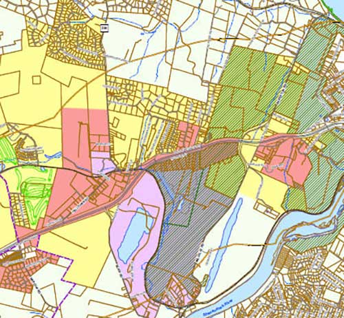
2010 Zoning Districts Map
This map, an excerpt from the countywide 2010 Zoning Districts Map, shows the current zoning for the study area.
Author
Jefferson County GIS/Addressing Office
Date Published
March 2011
Download PDF Map
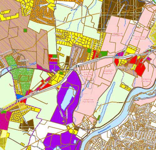
Existing Land Use DRAFT
This map denotes the existing land use within the study area. Please note: this map is incomplete and will retain the DRAFT designation until completion.
Author
Jefferson County GIS/Addressing Office
Date Published
March 2011
Download PDF Map
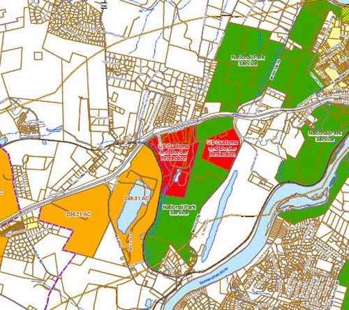
Large Properties with US340 Frontage
This map denotes properties along the US 340 corridor that contain large acreages. These properties could have a large impact on the area.
Author
Jefferson County GIS/Addressing Office
Date Published
March 2011
Download PDF Map
Major Subdivisions
This map shows all conventional (major) subdivisions, including those which may now be defunct.
Author
Jefferson County GIS/Addressing Office
Date Published
March 2011

Download PDF Map
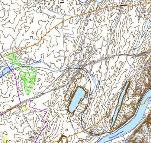
Topography – 20ft
This map shows the US Geological Survey 20ft topographic contours.
Author
Jefferson County GIS/Addressing Office
Date Published
March 2011
Download PDF Map
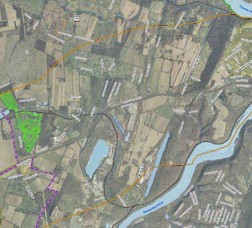
Aerial Photography (2003)
This map is underlain by aerial photography from the West Virginia Statewide Addressing and Mapping Board, flown in Winter 2003.
Author
Jefferson County GIS/Addressing Office
Date Published
March 2011
Download PDF Map
Have Questions?
Contact us to learn more. We’re happy to help!
Phone
304-728-3284
Fax: 304-724-8992
Address
116 East Washington Street, Suite 201
Charles Town, WV 25414
gis@jeffcowv.gov
Hours
Monday-Friday: 9:00 am – 5:00 pm